
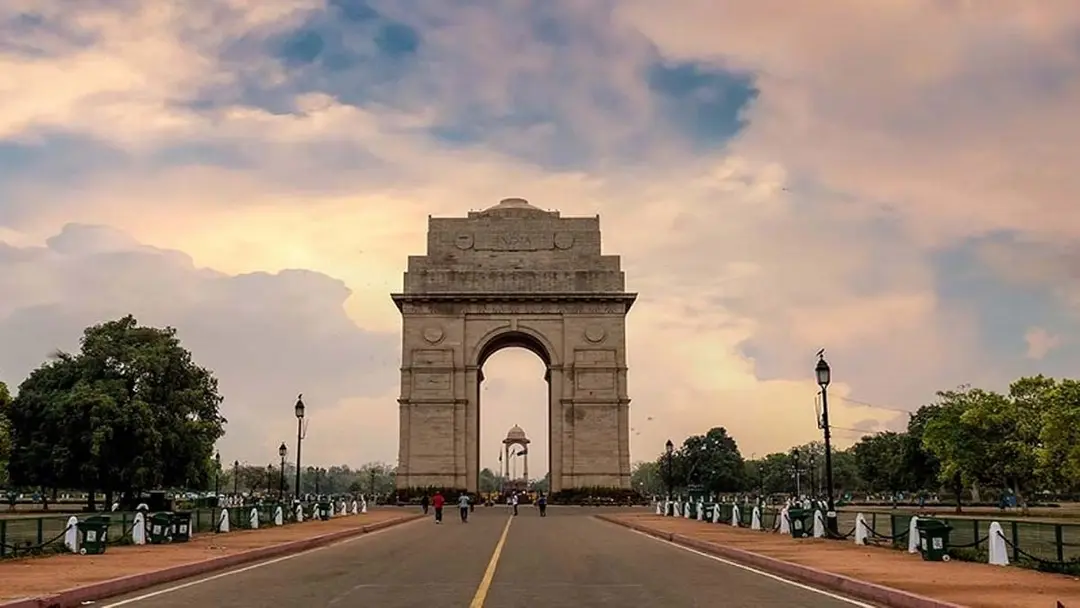
IMD issues thunderstorm, rain alert for Delhi, north Indian states
An active western disturbance is likely to bring thunderstorms and rain to Delhi, Uttar Pradesh, Punjab, Haryana, Jammu-Kashmir and Himachal Pradesh, the IMD said, issuing yellow and orange alerts across states. Delhi's day temperature rose to 36.2 degrees Celsius, 3.6 degrees above normal. An orange alert warns of hail and winds of 40-60 kmph in Mandi, Kullu and Shimla districts. Farmers have expressed concern over standing wheat crops.
Source
Weather · read the original report ↗
Desk check · compared with the source
What the desk checked (5)
- IMD forecasts thunderstorms and rain in Delhi, UP, Punjab, Haryana, Jammu-Kashmir and Himachal Pradesh, with yellow and orange alerts issued. — Attributed to the India Meteorological Department in the source.
- Delhi's day temperature rose to 36.2C, 3.6 degrees above normal; Sunday's minimum was 19.8C, 1.7 degrees above normal. — Figures appear in the source; no measuring agency named beyond the weather department context.
- Shimla office issued an orange alert for hail, thunderstorms and 40-60 kmph winds in Mandi, Kullu and Shimla districts on Monday. — Attributed to the Shimla weather office.
- Himachal Pradesh has recorded 87.4 mm rain this month, 20% below normal. — Figure appears in source, attributed to the weather department.
- A fresh western disturbance is likely to become active over northwest India from 2 April. — Forecast attributed to the weather department; inherently predictive.
Analysts’ view opinion
This is a weather story with an unmistakable political edge: thunderstorms and hail arriving just as the wheat crop stands in the fields turn farmer anxiety directly towards governments. Because the alert covers wheat heartlands — Punjab, Haryana, UP — plus Himachal, questions of crop-loss assessment, compensation and procurement norms tend to enter the political conversation almost immediately. The test here is not the storm but the speed of response; governments that move early gain, those that lag invite opposition attack.
- With IMD warnings and yellow-orange alerts already on record, any subsequent damage shifts the burden to governments to show what they did despite advance notice.
- Farmer concern over the standing wheat crop can quickly become a Centre-State issue, as compensation, insurance payouts and procurement of damaged grain are the usual demands in such situations.
- Farm politics carries unusual weight in Punjab, Haryana and UP, so even limited crop damage there can produce outsized political echo.
- The orange alert for Mandi, Kullu and Shimla districts touches horticulture and tourism-linked livelihoods in Himachal, which can raise questions about local administrative preparedness.
- Delhi recording a daytime temperature 3.6 degrees above normal before a rain warning keeps urban infrastructure — waterlogging, traffic — within the governance-competence debate.
What to watch — With IMD flagging a fresh western disturbance from 2 April, watch how quickly state governments order crop-loss surveys and relief announcements, and how forcefully opposition parties pick up the issue.
The story establishes only the weather warnings and farmers' anxiety — it confirms no actual crop loss, no government announcement, no compensation and no political reaction.
Deep dive
Research brief · 8 facts · 4 dates · exam-readyThe brief
Context
An active western disturbance is again altering weather across north India after a spell of rising heat. The India Meteorological Department (IMD) has forecast thunderstorms, gusty winds and rain over Delhi, Uttar Pradesh, Punjab, Haryana, Jammu-Kashmir and Himachal Pradesh, with yellow alerts in the plains and an orange alert in parts of Himachal Pradesh. The timing matters because wheat is standing in fields and is vulnerable to hail and strong winds. A fresh western disturbance is expected to affect northwest India from 2 April.
Key facts
- Delhi's day temperature rose to 36.2 degrees Celsius, 3.6 degrees above normal, after two days of rising temperatures.
- Delhi's minimum temperature on Sunday was 19.8 degrees Celsius, 1.7 degrees above normal.
- Safdarjung, Palam, Lodhi Road, Ridge and Ayanagar recorded temperatures between 35 and 36.2 degrees Celsius.
- IMD issued a yellow alert for light rain and strong winds in Delhi on Monday, 30 March, with maximum around 31 and minimum around 21 degrees Celsius.
- Shimla weather office issued an orange alert for Monday for hail, thunderstorms and winds of 40-60 kmph in Mandi, Kullu and Shimla districts.
- Fresh snowfall occurred in higher reaches of Kullu and Lahaul-Spiti on Sunday; Keylong got 1 cm of snow, Gondla light snow, and snow also fell at the south portal of Manali's Atal Tunnel.
- Himachal Pradesh has received 87.4 mm rain this month, 20 per cent below normal; wet weather is likely across the state till 4 April.
- Amritsar's maximum was 28.1 degrees Celsius (two degrees below normal), Ludhiana 30, Hisar 35, Ambala 30.4 and Gurugram 34.5 degrees Celsius.
Timeline
- Sunday (day before the story)Heavy rain in parts of Punjab and Haryana; snowfall in higher reaches of Himachal Pradesh; Delhi minimum 19.8 degrees Celsius.
- Monday, 30 MarchIMD yellow alert for light rain and strong winds in Delhi; orange alert for hail and 40-60 kmph winds in Mandi, Kullu and Shimla.
- From 2 AprilA new western disturbance likely to become active over northwest India.
- Till 4 AprilWet weather expected to continue across Himachal Pradesh.
Who has a stake
- Farmers in Punjab, Haryana and the plains — Standing wheat crop could be damaged if rain is accompanied by strong winds and hail.
- India Meteorological Department (IMD) — Issuing forecasts and yellow/orange alerts for Delhi, UP, Punjab, Haryana, J&K and Himachal Pradesh.
- Shimla weather office and Himachal districts — Orange alert for hail and 40-60 kmph winds in Mandi, Kullu and Shimla; snowfall in Kullu and Lahaul-Spiti.
- Delhi residents — Sharp swings from 36.2 degrees Celsius heat to light rain and gusty winds, with maximum dropping to around 31 degrees.
- Travellers on the Manali-Leh route — Snowfall at the south portal of the Atal Tunnel and in high-altitude areas can affect movement.
Why it matters
Late-March western disturbances arrive exactly when wheat is standing and near harvest, so hail and 40-60 kmph winds can flatten crops and cut yields for farmers in Punjab, Haryana and Uttar Pradesh. The same system cools an unusually hot Delhi, where temperatures were running 3.6 degrees above normal, showing how sharply north Indian weather can swing in a single day. With Himachal already 20 per cent rain-deficient this month and another disturbance due from 2 April, both water availability and crop safety hinge on how these systems behave.
UPSC angle
Prelims pointers
- Western disturbance: extratropical system that brings winter and spring rain/snow to northwest India.
- IMD colour codes: yellow alert means be aware/watch; orange alert means be prepared for severe weather.
- Orange alert on 30 March covered Mandi, Kullu and Shimla districts of Himachal Pradesh for hail and 40-60 kmph winds.
- Delhi's observatories named in the source: Safdarjung, Palam, Lodhi Road, Ridge, Ayanagar.
- Himachal Pradesh March rainfall (to date): 87.4 mm, 20 per cent below normal.
- Keylong recorded 1 cm snow; Atal Tunnel south portal near Manali also saw snowfall.
Mains framing
Recurrent western disturbances in late March expose the vulnerability of north India's rabi economy and of urban temperature regimes to short-cycle weather volatility. The immediate cause is an active western disturbance over northwest India, producing a 36.2 degrees Celsius day temperature in Delhi (3.6 degrees above normal) followed by rain and gusty winds, snowfall in Kullu, Lahaul-Spiti and at the Atal Tunnel's south portal, and a temperature drop in Punjab and Haryana where Amritsar was two degrees below normal. The implications are asymmetric: rain relieves heat and may help a rain-deficient Himachal Pradesh, which is 20 per cent below normal at 87.4 mm this month, but hail and 40-60 kmph winds threaten standing wheat just before harvest, as farmers have flagged. With another disturbance expected from 2 April and wet weather till 4 April, the way forward lies in acting on IMD's yellow and orange alerts through timely district-level advisories, harvest scheduling, secure storage of cut produce, and quick crop-damage assessment and compensation mechanisms.
Key terms
- Western disturbance
- A weather system that moves in from the west and brings rain, thunderstorms and snowfall to north India, especially in winter and spring.
- IMD
- India Meteorological Department, the national agency that issues weather forecasts and colour-coded warnings.
- Yellow alert
- A watch-level IMD warning, used here for light rain and strong winds in Delhi on 30 March.
- Orange alert
- A higher-level IMD warning to be prepared, issued for hail, thunderstorms and 40-60 kmph winds in Mandi, Kullu and Shimla.
- Atal Tunnel
- Tunnel near Manali in Himachal Pradesh; snowfall was reported at its southern portal.
- Standing wheat crop
- Wheat still in the field awaiting harvest, which can be flattened or damaged by hail and strong winds.
Practice questions
- How do western disturbances influence the weather of northwest India, and why are they significant for the rabi crop cycle?
- Discuss the effectiveness of IMD's colour-coded alert system in limiting agricultural losses from hailstorms and squally winds.
- Delhi recorded 36.2 degrees Celsius, 3.6 degrees above normal, just before a rain spell. What do such rapid swings tell us about pre-monsoon weather variability in north India?
Grounded only in the source report — figures and dates are the source's, not inferred.